May 9, 2026
May 9, 2026
Pernik
Трейл
64 km
Маратон
23 km
14 km
May 9, 2026
64 km, Маратон, 23 km, 14 km
Трейл
Tran, Trun Municipality, Bulgaria
Registration and pricing
Registration closes: May 9, 2026
Мали Руй трейл 14 км
- 30 лв Valid until March 31, 2026
Ранна регистрация до 31.03.2026
- 40 лв Valid until May 8, 2026
Стандартна регистрация до 08.05.2026
Late registration 50 лв May 9, 2026
Гребенът на Руй 23 км
- 40 лв Valid until March 31, 2026
Ранна регистрация до 31.03.2026
- 50 лв Valid until May 8, 2026
Стандартна регистрация до 08.05.2026
Late registration 60 лв May 9, 2026
Маратон Ждрелото 43 км
- 50 лв Valid until March 31, 2026
Ранна регистрация до 31.03.2026
- 60 лв Valid until May 8, 2026
Стандартна регистрация до 08.05.2026
Late registration 70 лв May 9, 2026
Ерма Ултра 64 км
- 60 лв Valid until March 31, 2026
Ранна регистрация до 31.03.2026
- 70 лв Valid until May 8, 2026
Стандартна регистрация до 08.05.2026
Late registration 80 лв May 9, 2026
Race description
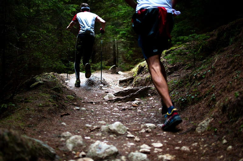
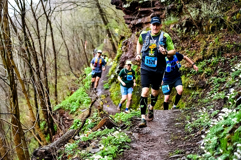
Trun Ultra Run is a mountain race held in the picturesque region of Kraiishte, centered in the village of Turokovtsi, Trun Municipality. The race offers four routes of varying lengths and ascents, passing through the mountains Ruy, Ezimirska, and Greben, with numerous peaks and panoramic views. The courses are circular, with diverse terrain including soft trails, rocky sections, steep inclines, and forest areas. Organized by the Trun Tourist Society with the support of Trun Municipality, the event provides marking, refreshment points, and medical assistance for participants.
Highlights
- Four circular routes of 14 km, 23 km, 43 km, and 64 km with ascents from 700 to 3300 meters
- Routes through the mountains Ruy, Ezimirska, and Greben with numerous peaks and panoramic views
- Diverse terrain including soft trails, rocky sections, steep inclines, and forest areas
Additional information
All routes are circular with start and finish in the village of Turokovtsi. There are refreshment points along the courses with water and food, but cups are not provided. Participants are required to have mandatory insurance. Medical personnel and an ambulance are available at the start/finish. Use of GPS tracks in .gpx format is recommended. Multiple routes of different lengths through scenic Bulgaria, awaiting certification from ITRA.
Explore more races
Similar races
More races with similar distance, type or nearby location.